Having an overview of a neighborhood for future energy issues is a headache for municipal planning services.
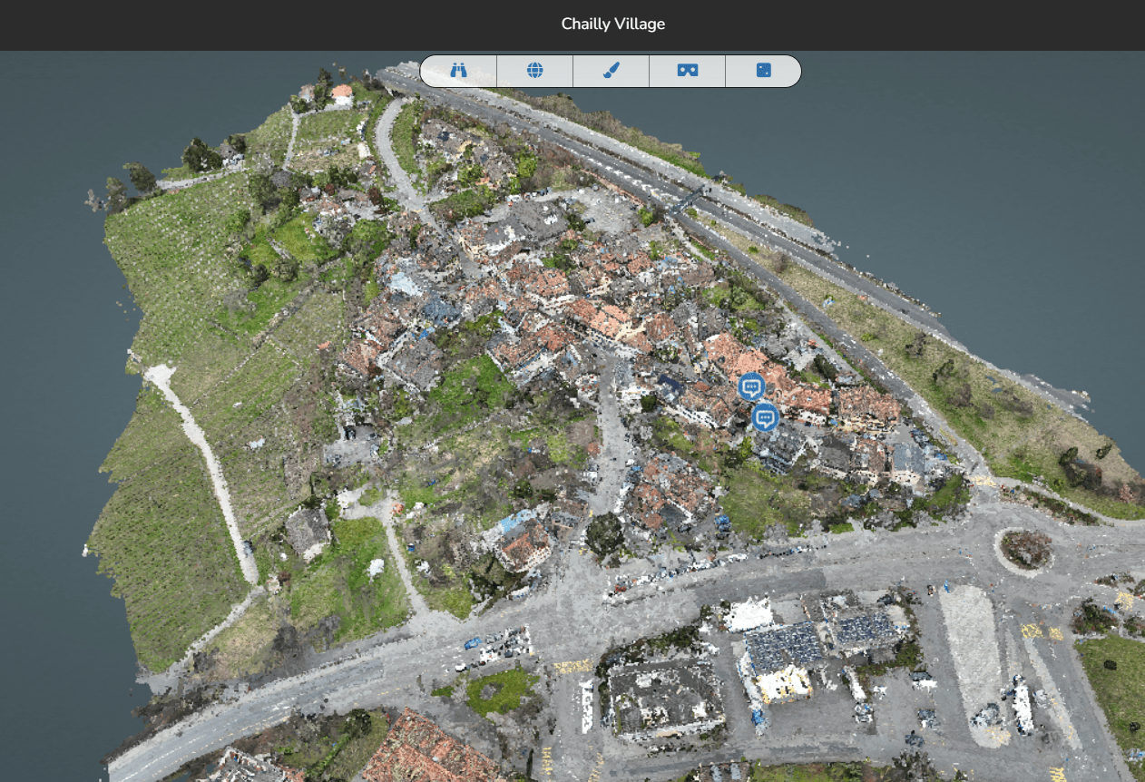
Digitization of the Chailly-Montreux district plan guarantees high precision and realistic 3D modeling
Timeline
PREPARATION
Study of the neighborhood environment
Development of the flight plan
ON-SITE CAPTURE
Drone scanning of the neighborhood
Scanning of streets and facades with a ground-based scanner
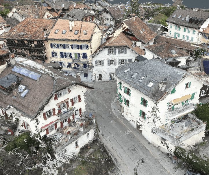
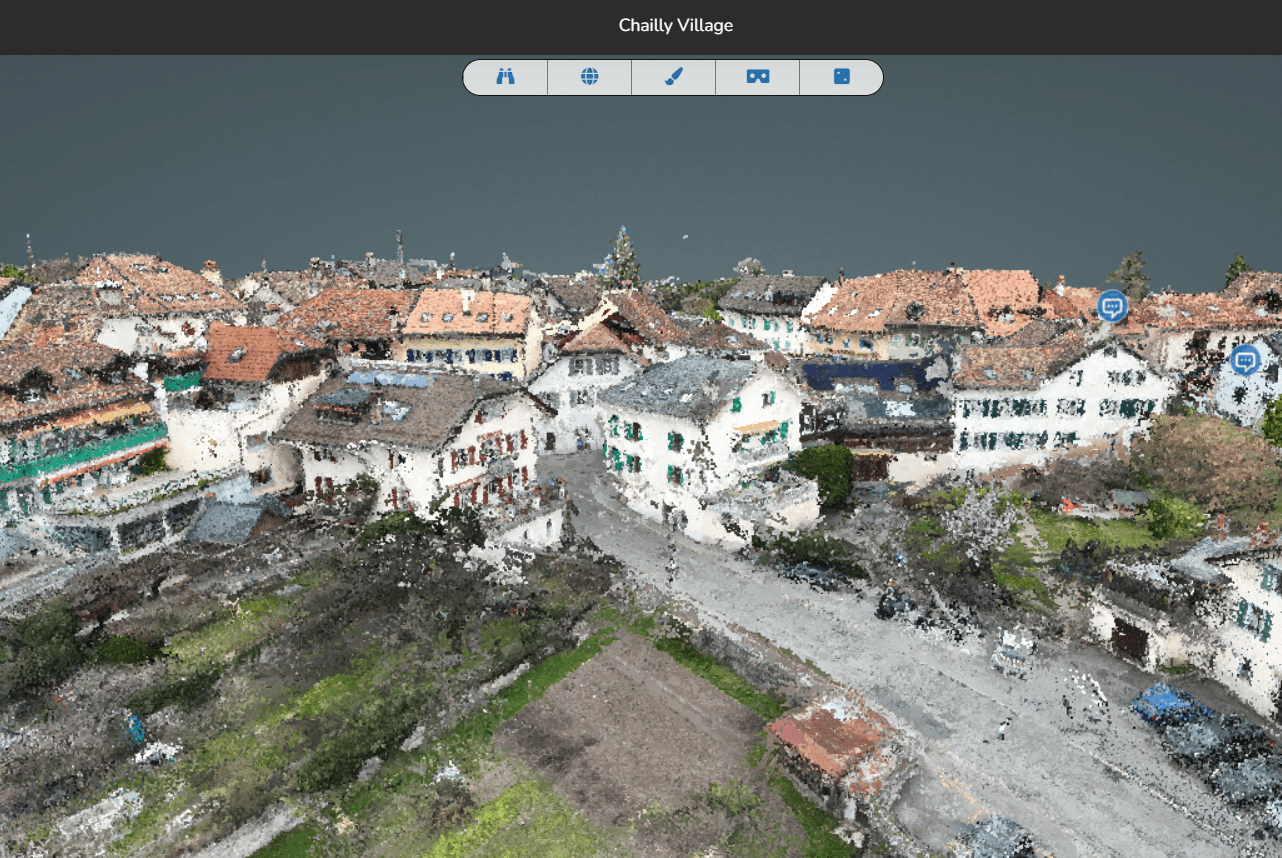
Point cloud
POST-PROCESSING
Design of the 3D model of the neighborhood
Processing of areas of interest according to the specifications of the municipality
Development of DWG plans of facades and roofs
SERVICES USED
Modeling by drone flight
3D modeling using a standing scanner
ADVANTAGES
Effective planning of municipal projects
Simplified urban planning solutions
Access to the entire neighborhood at all times
DELIVERABLE
Transmission of DWG plans or possible 3D models to architects, municipal project managers, construction managers for easy information gathering in just a few clicks.